Today was a much better day for travelling the Ring of Kerry. The rain had gone, although it was still quite windy.
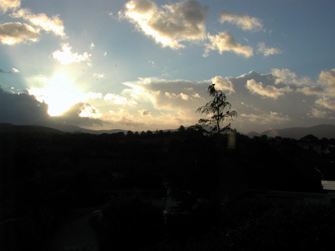
The early morning rays of the sun from my bedroom window.
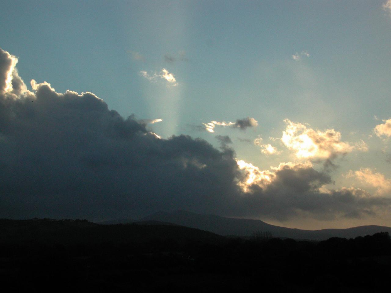
The neighbourhood appearing in the morning sun.
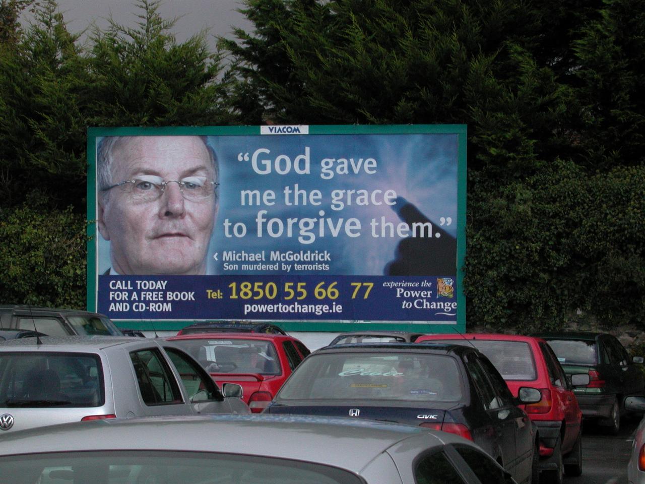
A quick spot of shopping in Killarney bought us to this parking lot, with this interesting sign. I noticed several of this type of sign around the country. Obviously Ireland does not have the prohibition on roadside advertising which Spain does.
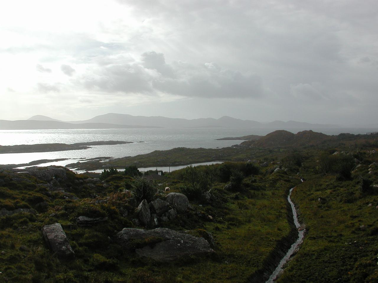
Overlooking the Kenmare River near Parknasilla. It's more like a bay than a river, but that's what it's called on the map.
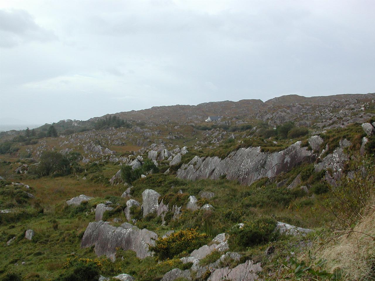
At the same location, showing the barren landscape. Seeing as it faces south west onto the Atlantic Ocean, I suspect it suffers greatly from wind. The little white speck in the middle of the image is a home - yes, somebody lives in here. More protected parts of the journey (upstream on the river) was quite a forest, but the more exposed areas here were mostly treeless.
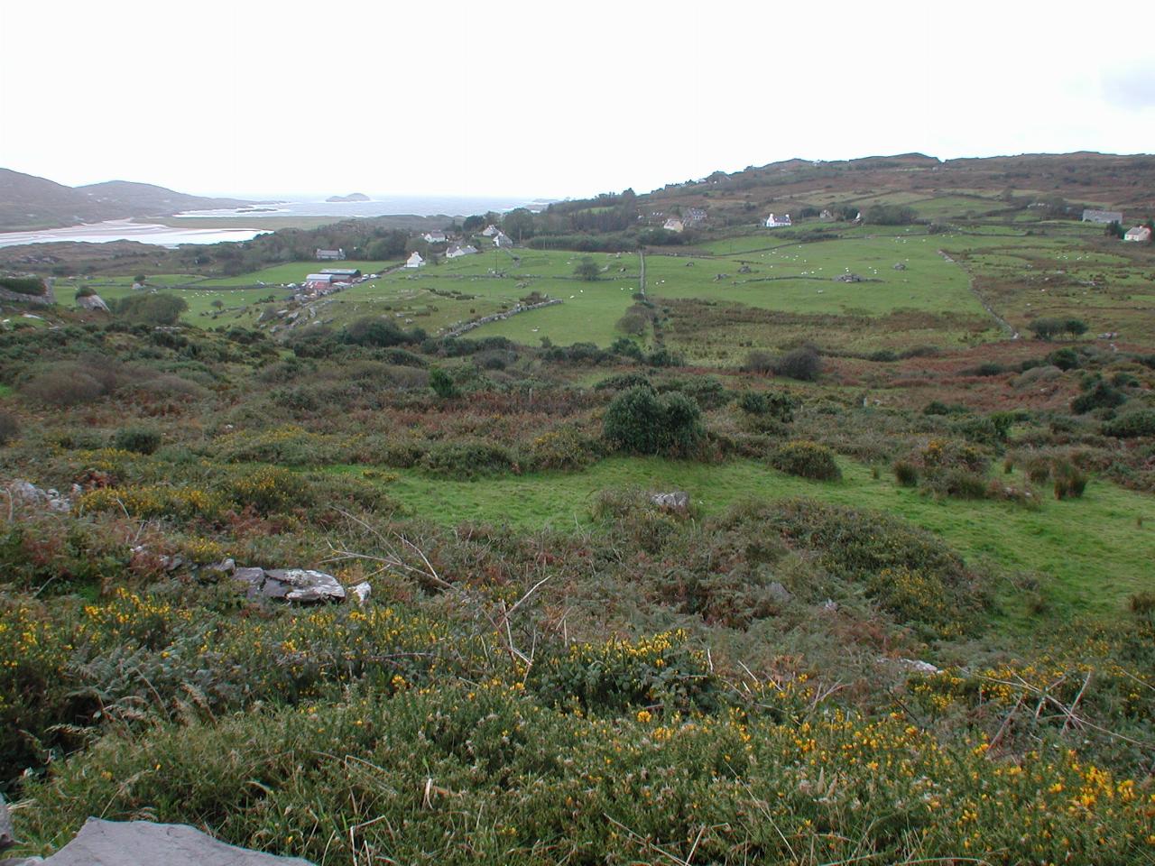
Near the village of Caherdaniel. This is further west, but this area is a little inland, and thus somewhat protected from the wind.
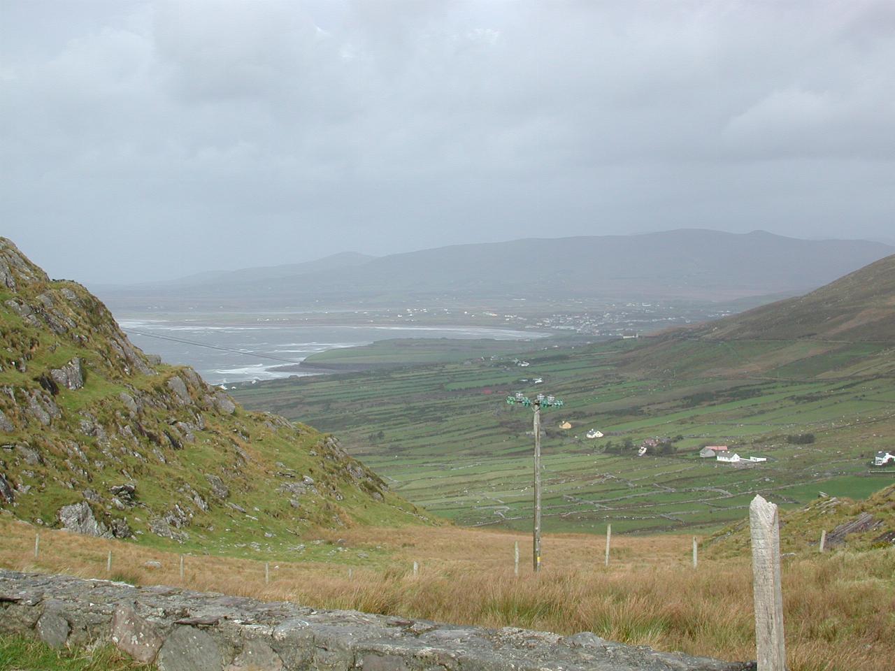
Looking from the pass north towards Waterville, where we stopped for lunch. I was almost blown over when I first stepped from the car to check whether a restaurant was open (it wasn't). Waterville is located on Ballinskelligs Bay.
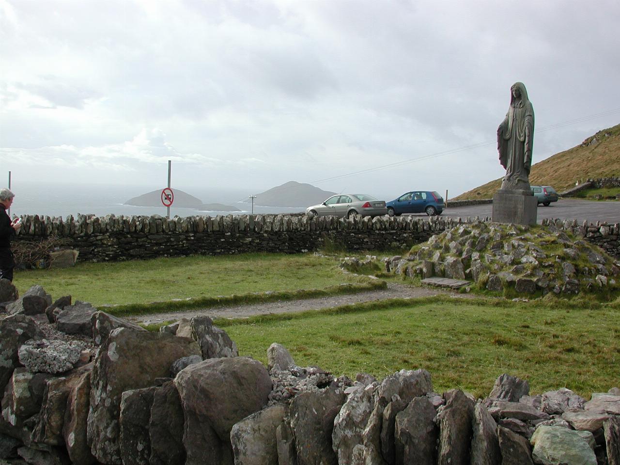
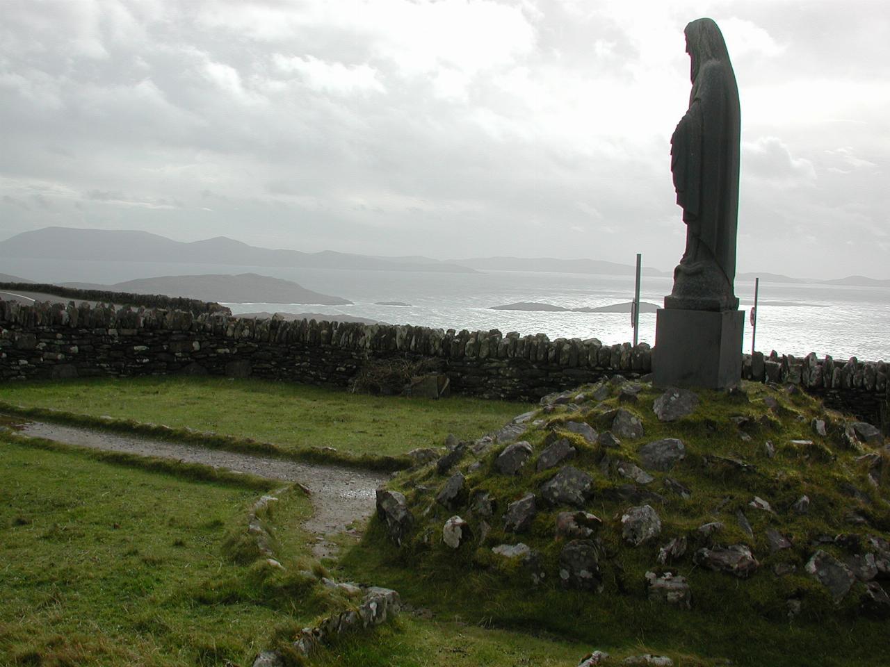
As was common in southern Ireland, there is a statue of Mary situated on the Pass. The islands behind are Deenish and Scariff, the further away and larger of the two.
Looking towards Lamb's Head over the Kenmare River.
After lunch in Waterville, we continued the journey to Bandon, where we arrived a little before dusk. Although an enjoyable journey, I took no more photos this day.