The road leaving Bombala passes through farming country before entering a national park which it passes through all the way down the mountains. This is not a high speed road, with frost warnings in many parts, and sections which do not see much sunlight. It was, however, very pleasant to travel along, with little traffic. The descent is mostly through quite dense eucalypt forest, probably never logged.
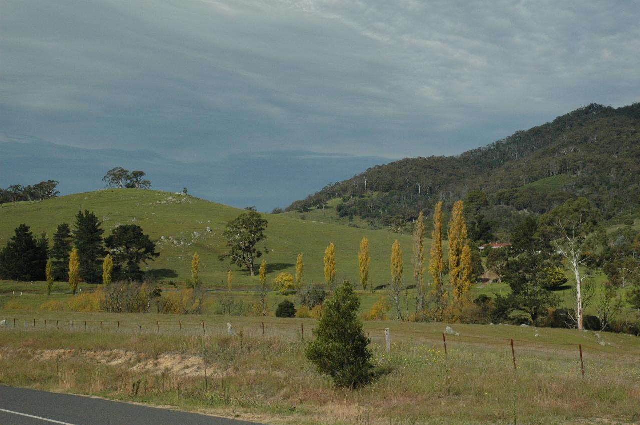
A little before Wyndham, with the edge of the mountains. And note how green is the pasture, as opposed to the previous page. The south coast has been receiving somewhat more regular rainfall than the tablelands, so their water situation is not as bad.
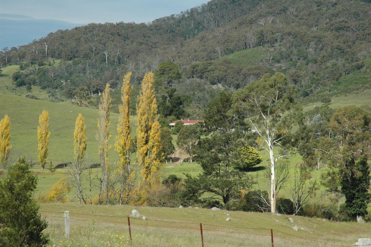
Same location, a somehwat closer view. Certainly autumn. And note also the rocks in the fields, just as near Dalgety, though these are smaller.
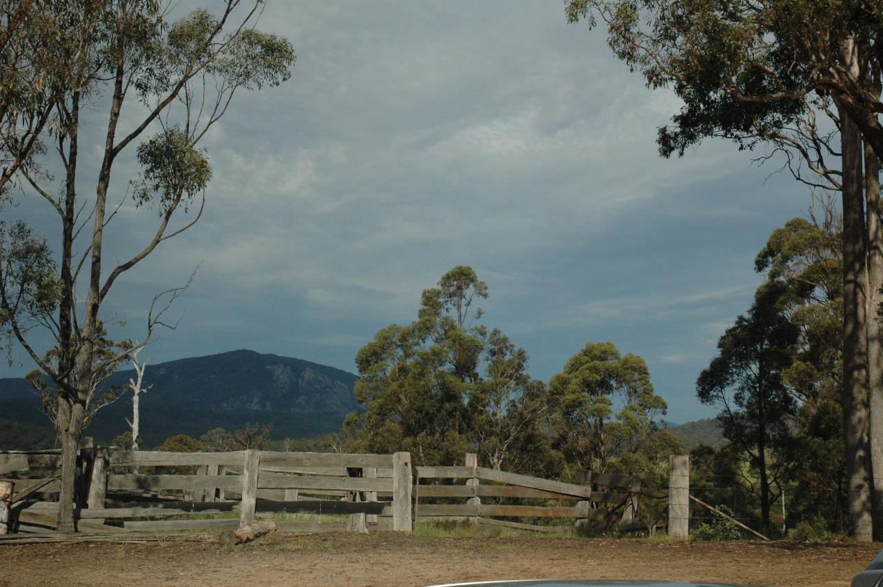
And on the eastern end of Wyndham is a lookout, which appears to serve double duty as a cattle yard and probably pick up point.
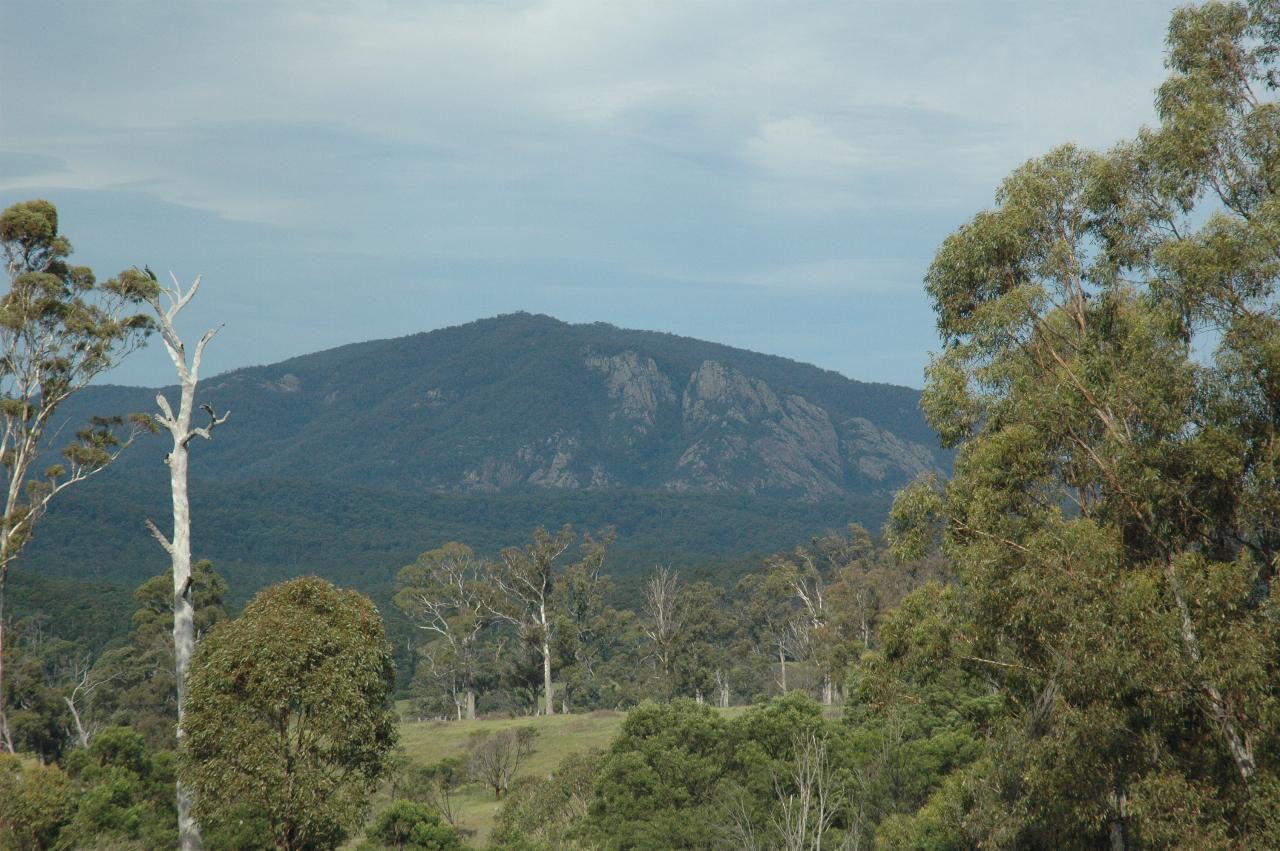
The distant mountain in the above photo is quite a landmark in the area. It appears to be Burragate Peak, or possibly Jingera Rock (which may be the same thing).
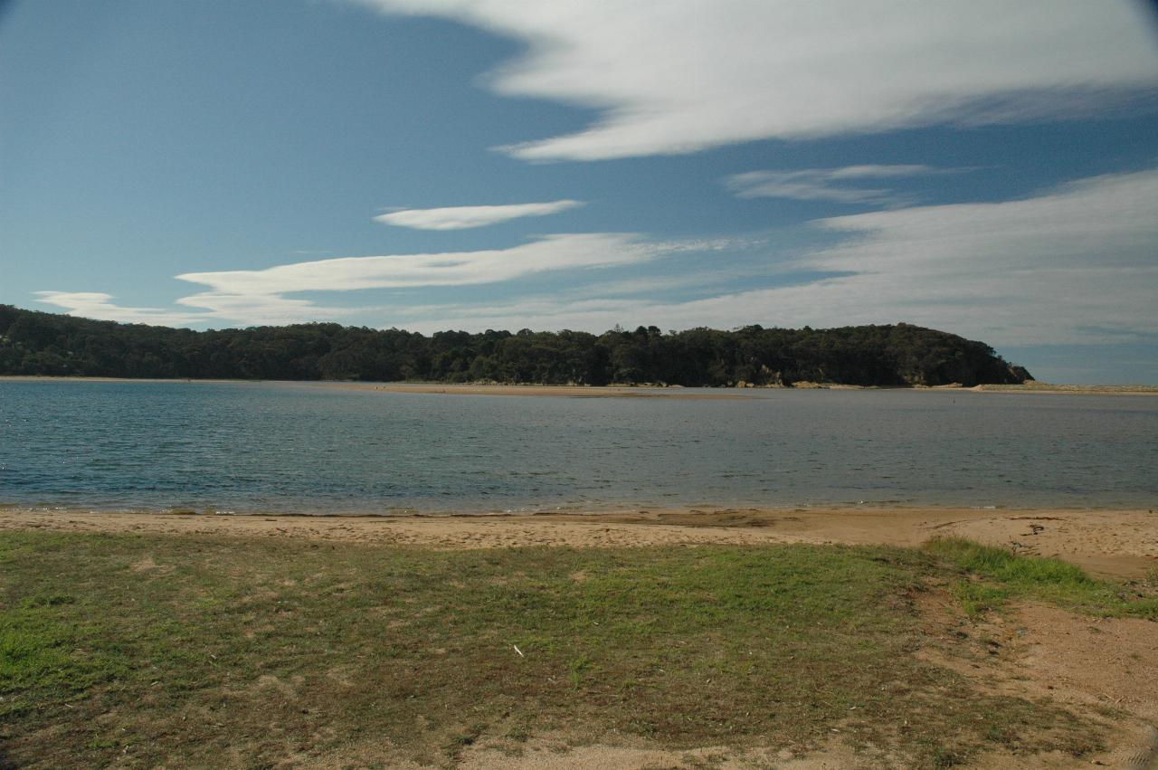
A little north of Tathra, the road crosses the Bega River at Handcocks Bridge, just to the left of this photo. This is the mouth of the river, although it's not entirely obvious; it is almost a lagoon, at least in part I suspect because of the drought. The river entrance is near the distant headland.
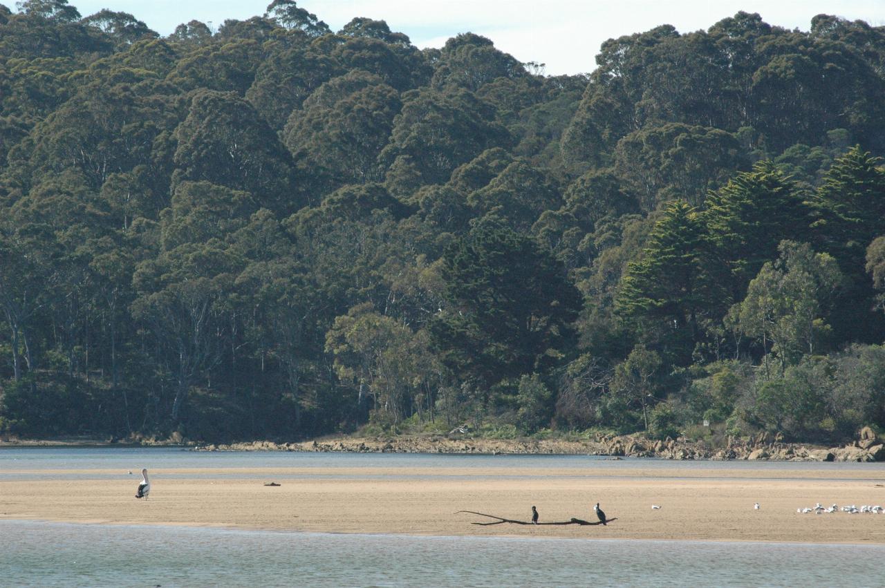
A closer view of the sandbar, which reminded me of that old rhyme:
#style background:eeeeee #{ is not known
A strange bird is the pelican
Its beak can hold more than it's belly can
Onwards and upwards! 'Upwards' in the sense of heading north; from here most of the journey is close to sea level.