Pulling out of the motel, I took the main road out of Jindabyne, but continued along Summit Road, rather than taking the Alpine Way, which was tomorrow's route. Summit Road passes through three ski resort villages, Smiggin Holes, Perisher and Charlotte Pass. Being snow free during the visit, none of these looked especially interesting or attractive, and so no stopping was involved.
Not long after Island Bend, or rather, where it used to be, the road turns to gravel, although the GPS receiver did not notice this! However, that was no reason to not continue, albeit a little more slowly than might have been preferred.
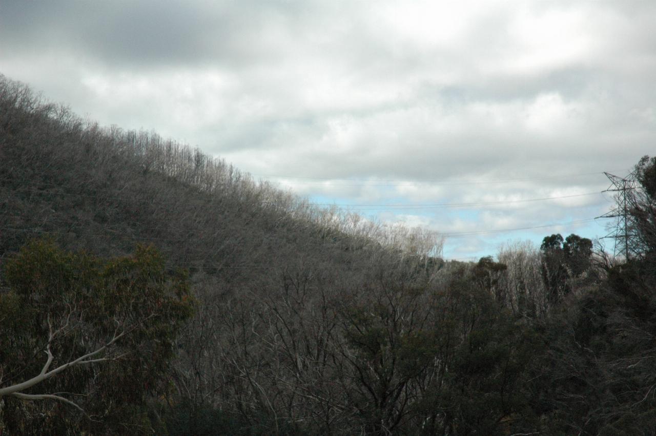
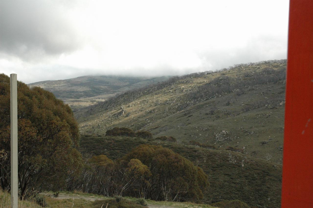
This photo shows the consequences of the 2003 fires in the Kosciuszko National Park - the white tree trunks are snow gums which were burnt in the fire. Later on, I stopped at a Ranger Station and asked about these. It turns out that the trees are killed above ground, but the roots are still alive, and will sprout to begin again. But in an alpine environment, and especially one that has had little rain since the fires, this will be slow. There will be a little more about this on tomorrow's journey.
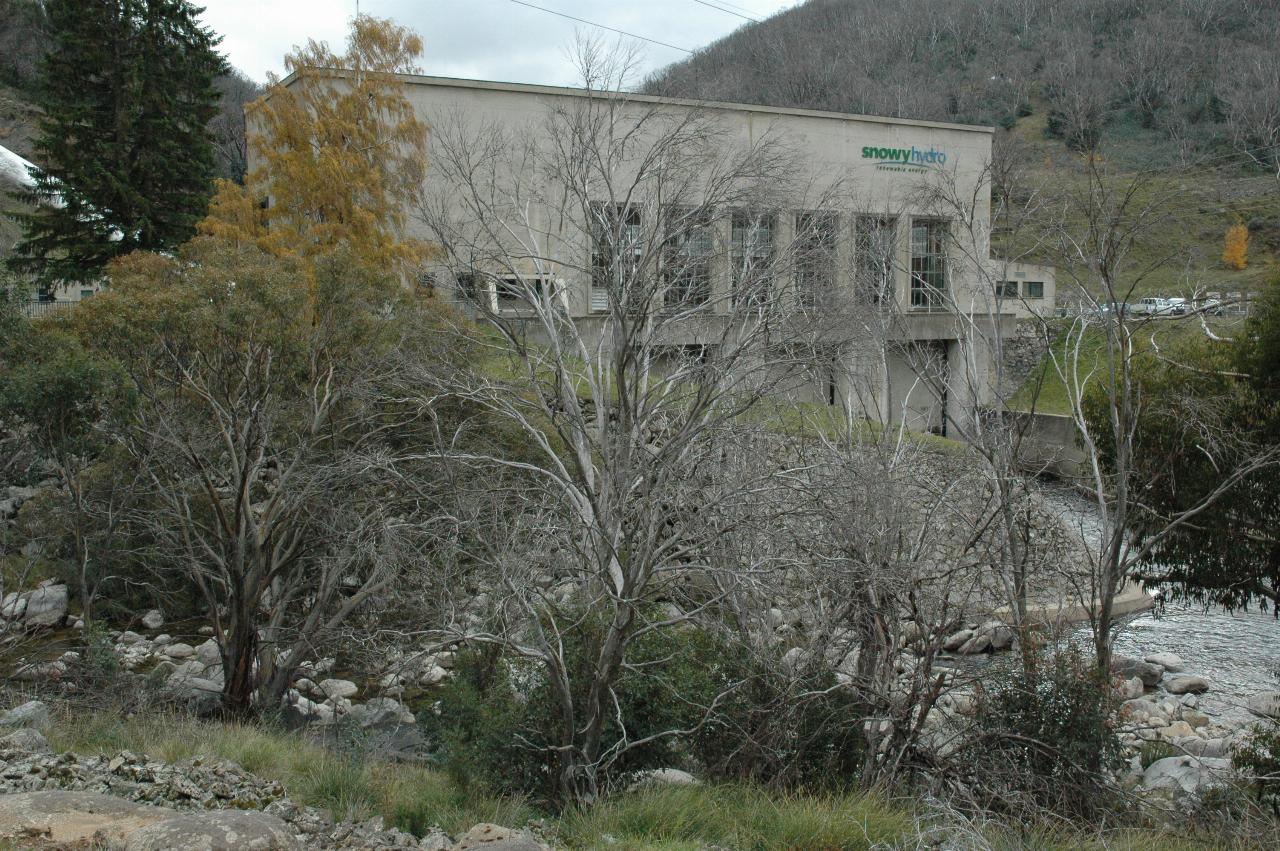
Guthega Power Station, the first one built in the Snowy Mountains Scheme. This also shows a dead tree in the foreground, and also some of the autumn colours around this area at this time of year. By modern standards, this is a small power station, being only 60MW. However, being a small project, it was able to be completed within the first 5 years, and provided additional electricity by February 1955, at a time when it was sorely needed.
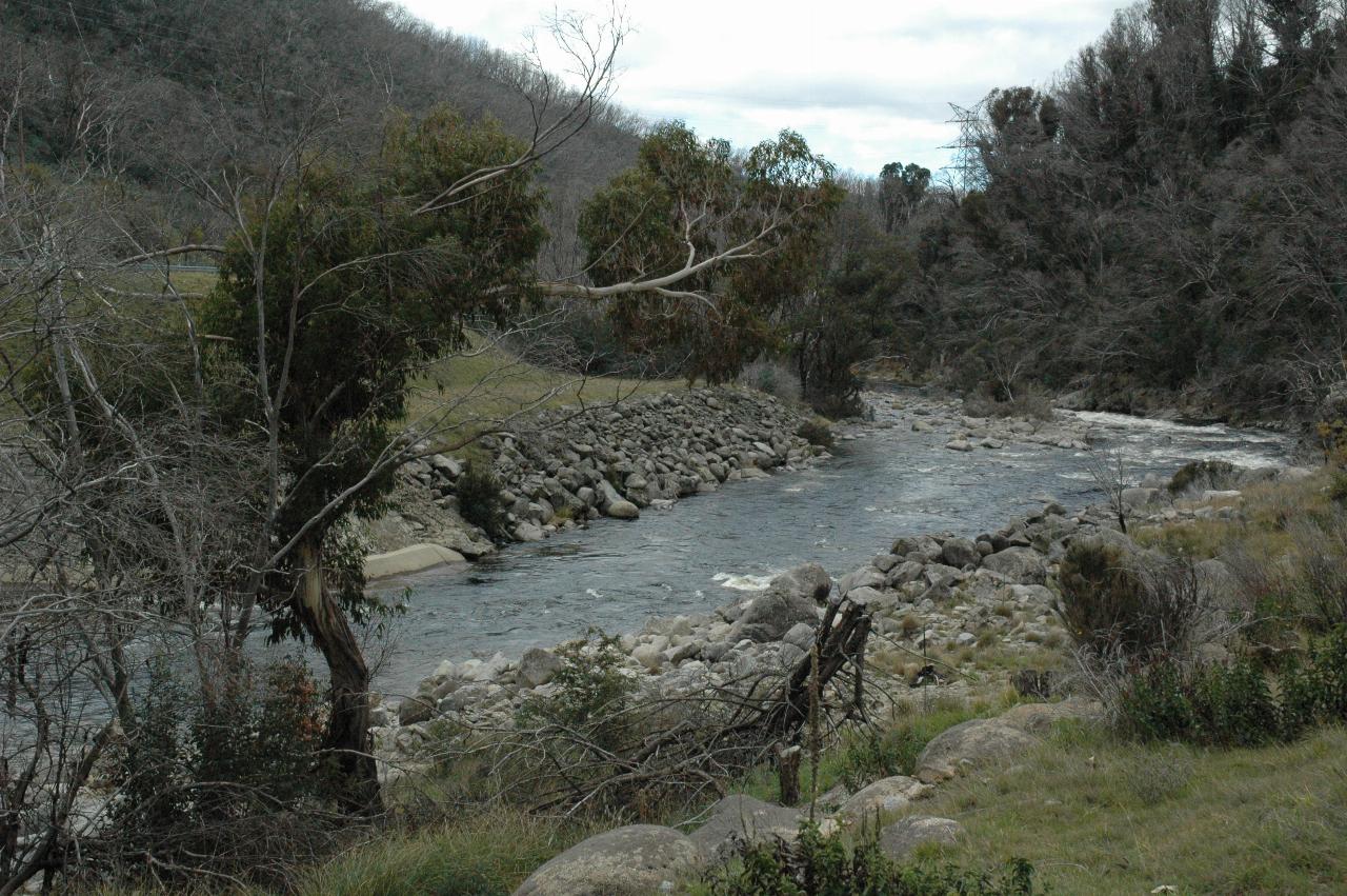
The Snowy River leaving Guthega Power Station, headed towards Island Bend, and ultimately Jindabyne Reservoir.
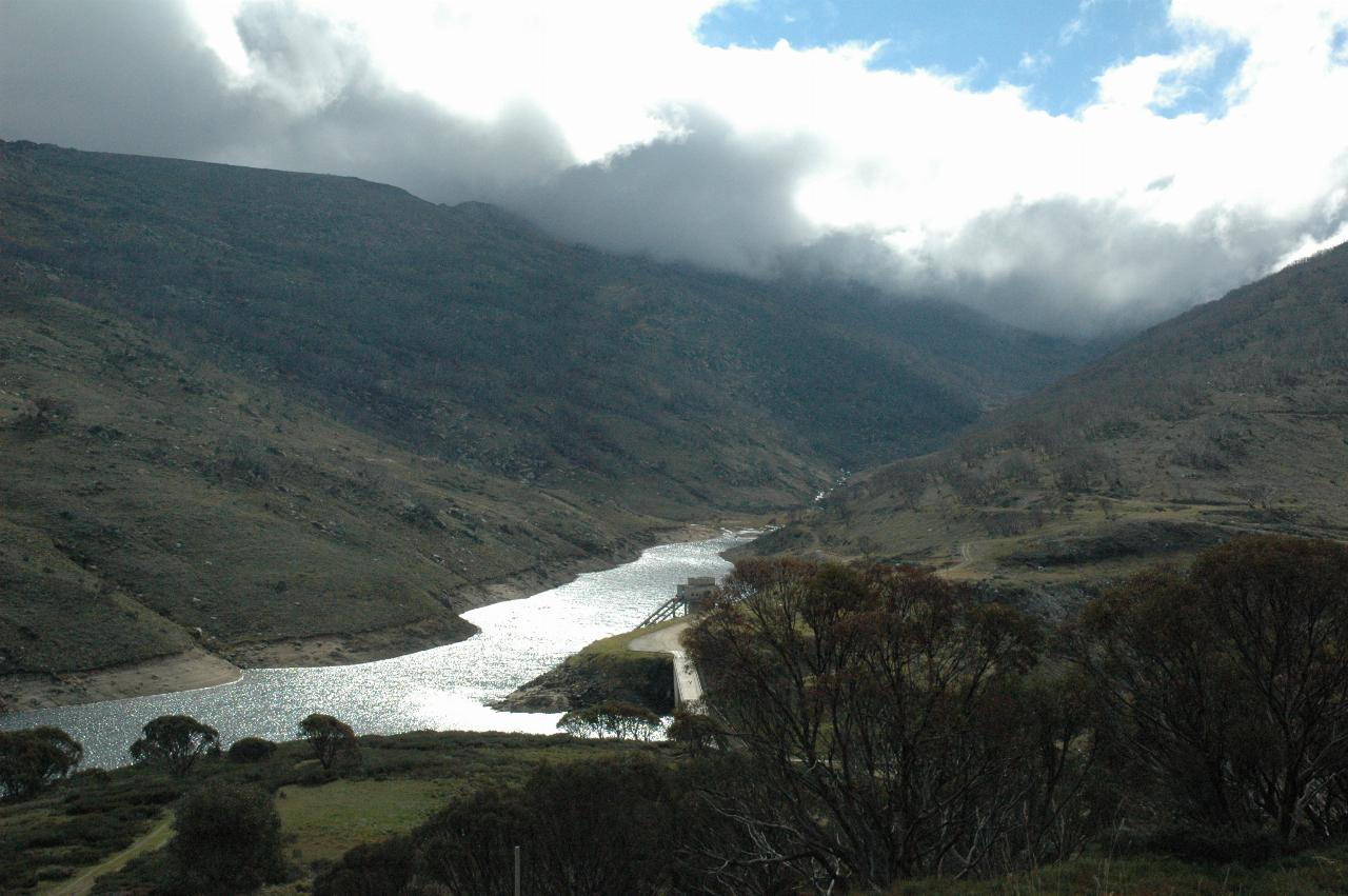
Guthega Dam was built by a Norwegian company for a number of reasons. Norway has much experience building tunnels and hydro electric stations, so this was a good fit. And so the experience gained would be useful for later. This was also a test bed, I suspect, as a type of reality check on the rest of the scheme's design. There is a 5km (about 3 miles) long tunnel then a pipeline connecting this dam to the power station above. The Snowy River flows in from the left; the dam wall's top is just visible about mid image, to the left of the trees.
Looking upstream along the Snowy River at Guthega. My journey was to take me closer to the river's source, but not without some backtracking, as this is the end of the road.
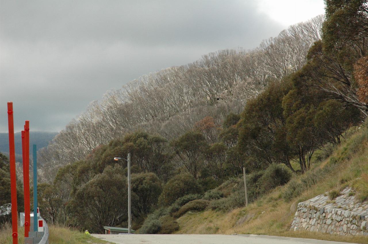
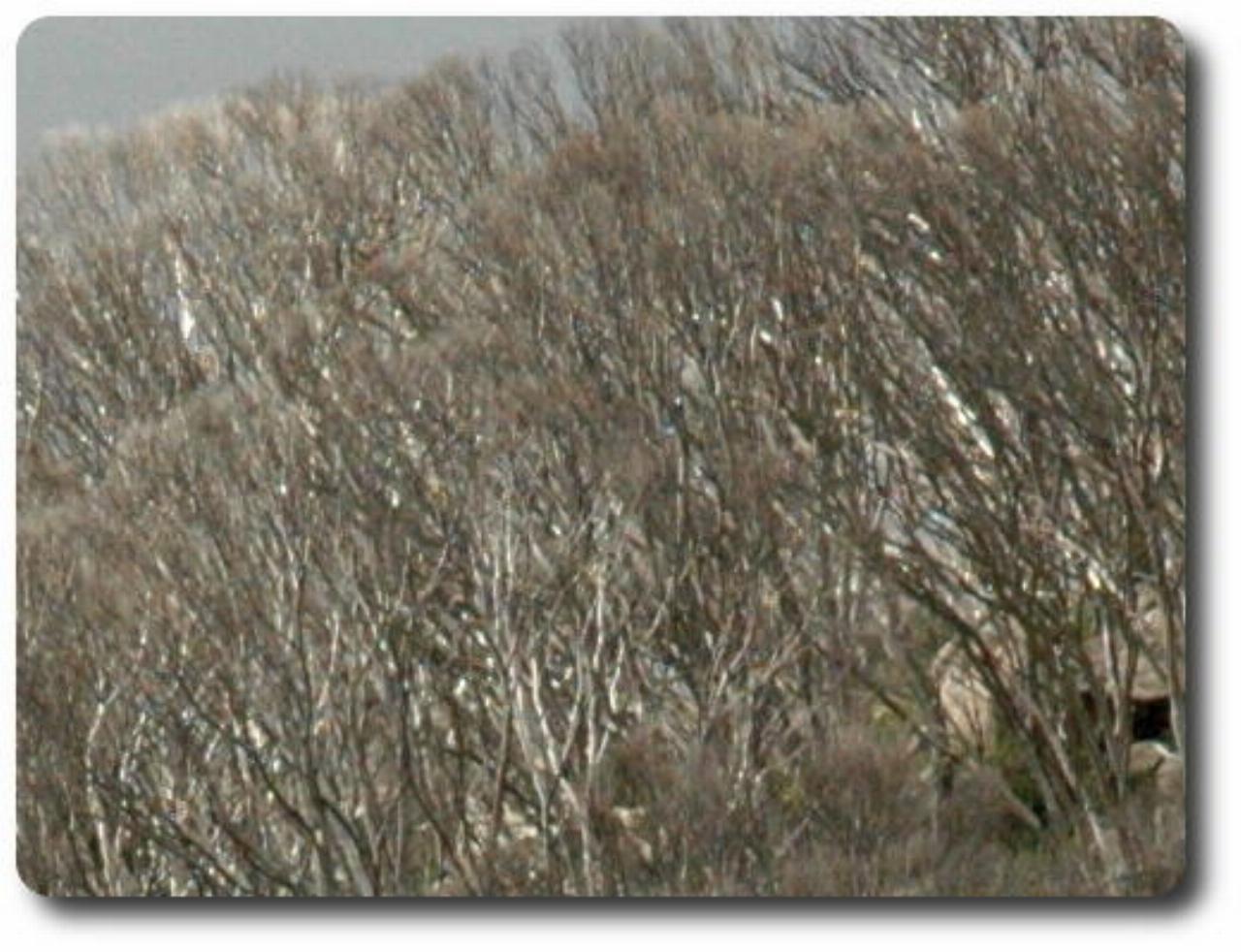
Another view of trees killed in the 2003 fires. The detailed view shows the trees, although it is hard to see any regrowth. These photographs were taken in Guthega; it's not so much a town as a ski resort and a few ski lodges. I don't recall seeing anything which might resemble a shop, although I did hear somebody chopping wood, which would very soon be required.
But then it was time to hit the road again.